


Voting District 44497, Los Angeles County, California
About
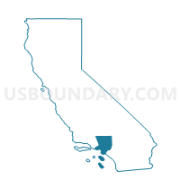
Outline

Summary
| Unique Area Identifier | 532788 |
| Name | Voting District 44497 |
| County | Los Angeles County |
| State | California |
| Area (square miles) | 0.01 |
| Land Area (square miles) | 0.01 |
| Water Area (square miles) | 0.00 |
| % of Land Area | 100.00 |
| % of Water Area | 0.00 |
| Latitude of the Internal Point | 33.94705200 |
| Longtitude of the Internal Point | -117.95385510 |
Maps


Graphs
Select a template below for downloading or customizing gragh for Voting District 44497, Los Angeles County, California


Neighbors
Neighoring Voting District (by Name) Neighboring Voting District on the Map
- Voting District 42211, Orange County, CA
- Voting District 43447, Los Angeles County, CA
- Voting District 44500, Los Angeles County, CA
Top 10 Neighboring County Subdivision (by Population) Neighboring County Subdivision on the Map
- Anaheim-Santa Ana-Garden Grove CCD, Orange County, CA (1,648,519)
- Whittier CCD, Los Angeles County, CA (316,911)
Top 10 Neighboring Place (by Population) Neighboring Place on the Map
Top 10 Neighboring Elementary School District (by Population) Neighboring Elementary School District on the Map
- La Habra City Elementary School District, CA (49,429)
- Lowell Joint Elementary School District, CA (34,371)